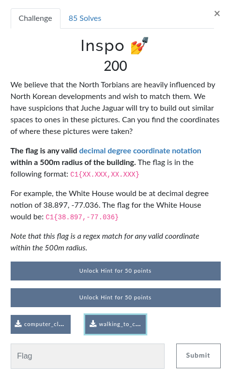
Initial Analysis
I was provided two images for analysis:
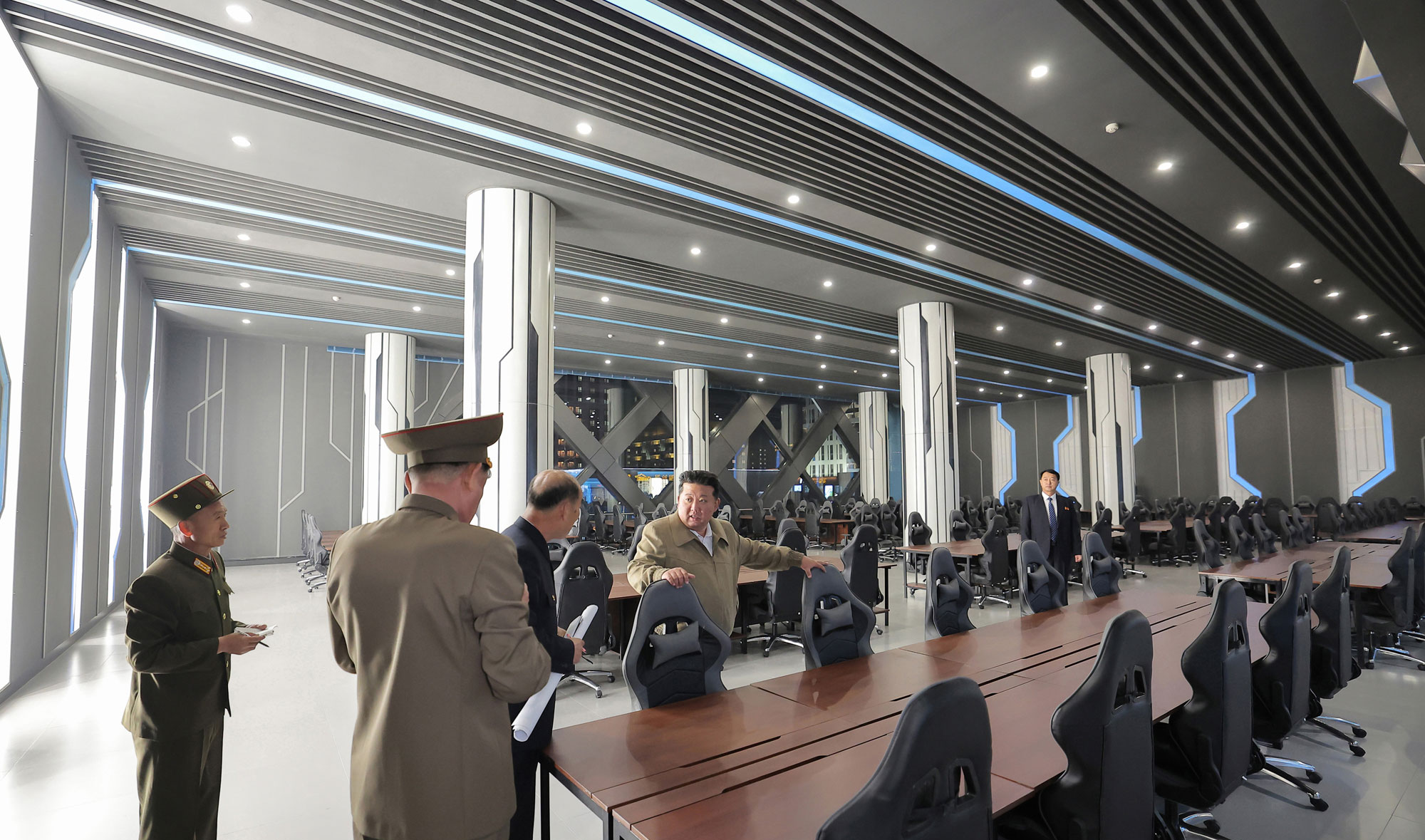
computer_club.png
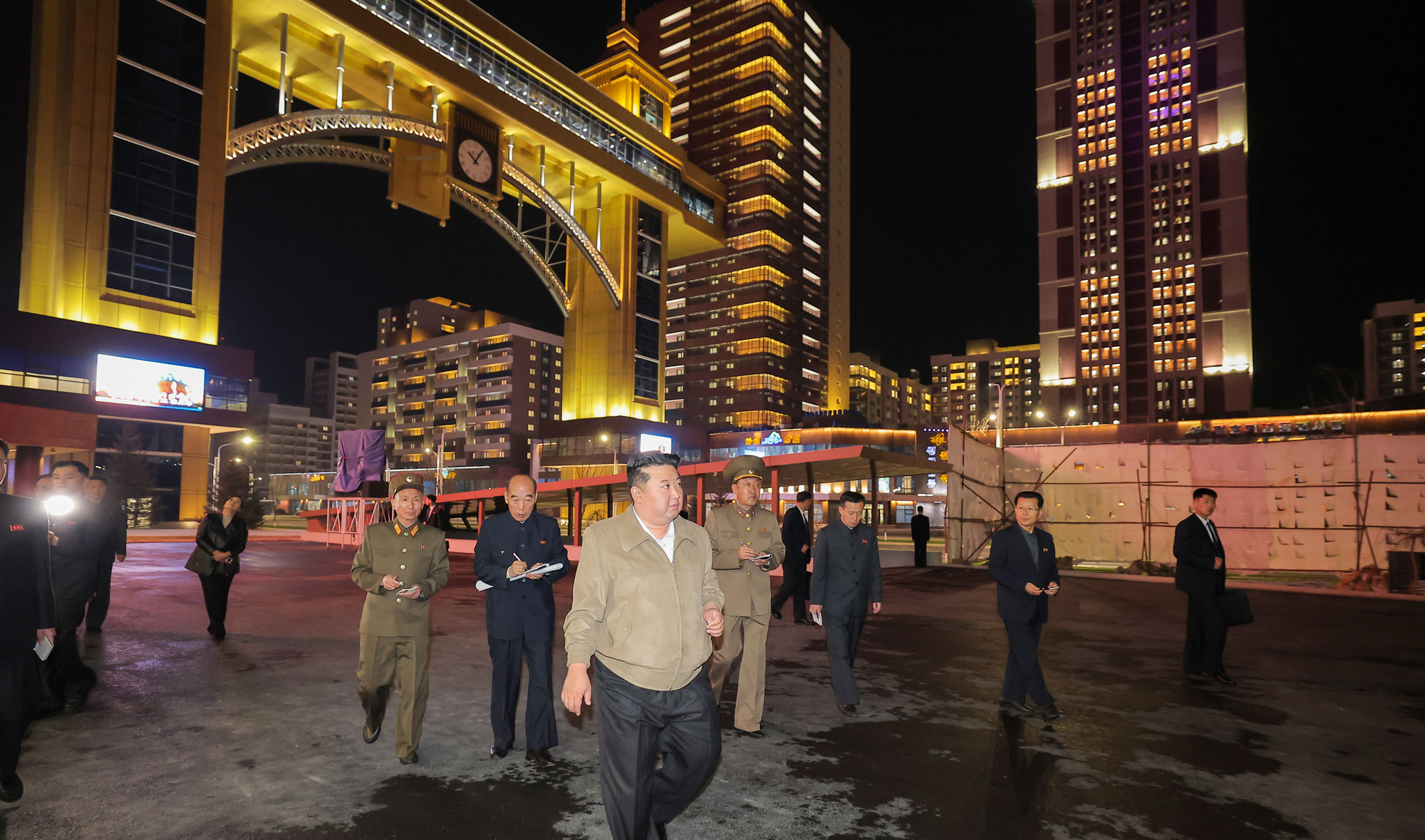
walking_to_computer_club.png
Running exiftool on both revealed they were created with GIMP, with no sensitive metadata like GPS coordinates.
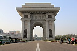
Eliminating Red Herrings
Initially, the Arch of Triumph caught my attention by its name, but further visual comparison ruled it out:
Reverse Image Search
A Google reverse image search revealed both images appeared in an NK News article:
NK News – Kim Jong Un vows cars and gaming for core citizens
Through more searching I found similar articles which referenced to this area as the Hwasong District 3rd Stage development.
Further reference:
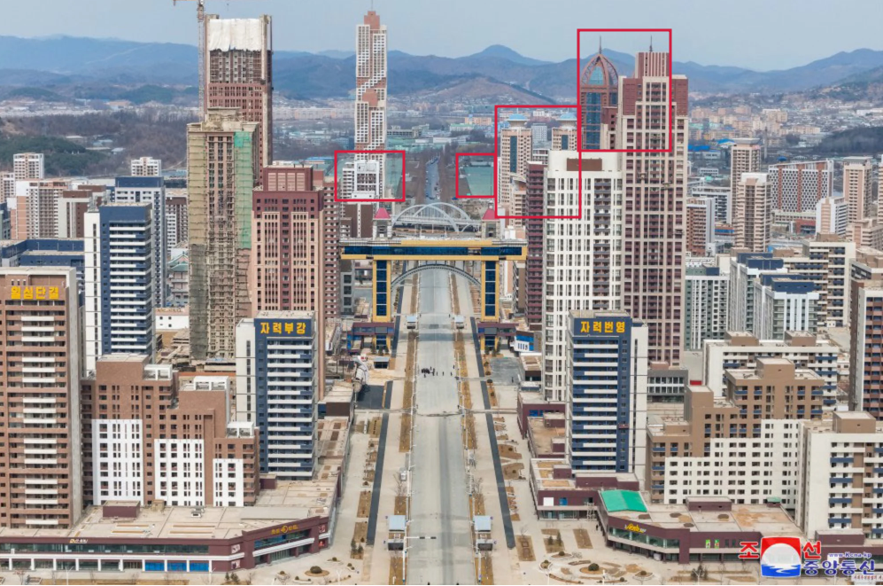
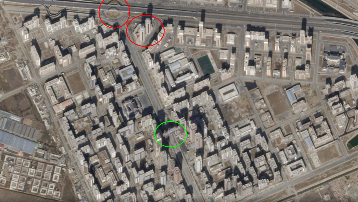
Identifying Landmarks
Using image features and article clues, I noted:
- Skybridge arching over the street
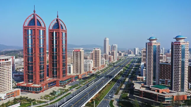
- Red-framed twin towers matching the description of Hwasong Twin Towers (和盛區雙峰塔) to the right of the highway
- White towers with blue mushroom tops to the right of the highway
- Hwaseong Greenhouse Vegetable Factory on either side of the road in the distance
Google Maps revealed a matching layout:
- Red twin towers on the right of the street
- White-blue towers across the street
- Greenhouses visible near the highway
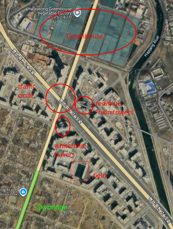
These collectively helped orient myself and narrow down the location.
Supporting Sources
These provided additional orientation references like:
-
Roundabout
-
Building bases (trapezoidal white/blue tower)
-
Satellite views confirming layout
Final Coordinates
Using the white/blue mushroom-topped towers as an anchor, I submitted:
C1{39.100, 125.770}
✅ Accepted.